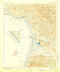
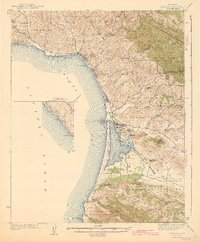
1897 Map of Cayucos
USGS Topo · Published 1923About this map
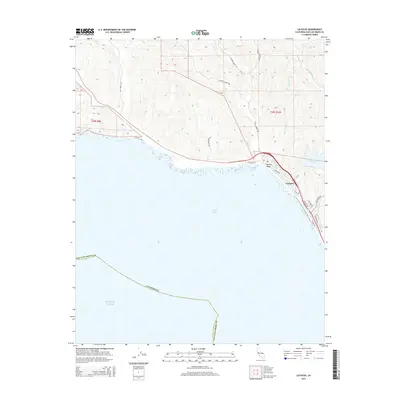
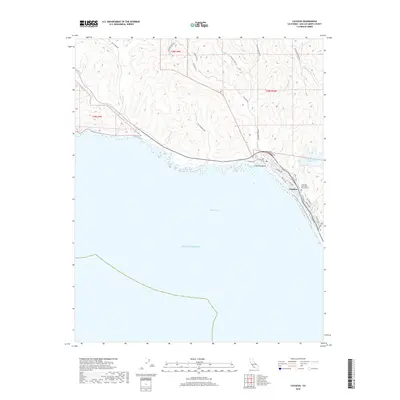
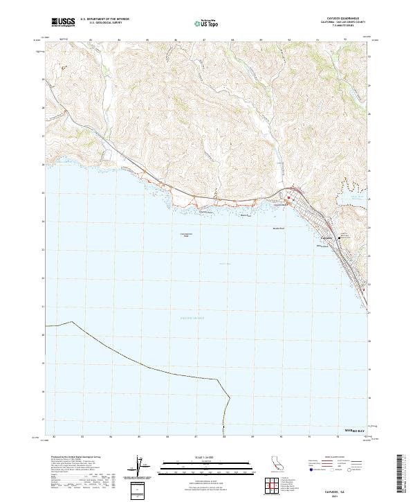
Cayucos and Morro anchor this coastal survey, revealing the Central California shoreline as it appeared in the late nineteenth century. The landscape is defined by the dramatic transition from the Pacific Ocean and Estero Bay to the rising elevations of the Luciara Range and the Santa Barbara National Forest. The map documents a topography punctuated by distinctive landmarks such as Morro Rock and Valencia Peak, which overlook a network of coastal drainages including Toro Creek and Chorro Creek.
Find a feature on this map
44 named features on this map. Tap any name to fly to it.
Don’t see what you’re looking for? This feature index may not catch every label — zoom into the map to look around manually.
Map Details
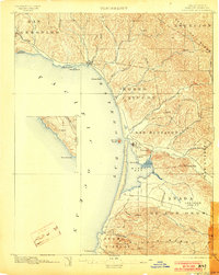
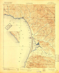
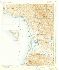
Editions of this 1897 Cayucos Map
5 editions found

Historical Maps of Morro Bay Through Time
9 maps found
1897 Cayucos
San Luis Obispo County, CA

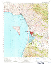
1937 Cayucos
San Luis Obispo County, CA
1943 Cayucos
San Luis Obispo County, CA
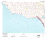
1951 Cayucos
San Luis Obispo County, CA
1965 Cayucos
San Luis Obispo County, CA
2012 Cayucos
San Luis Obispo County, CA
2015 Cayucos
San Luis Obispo County, CA
2018 Cayucos
San Luis Obispo County, CA
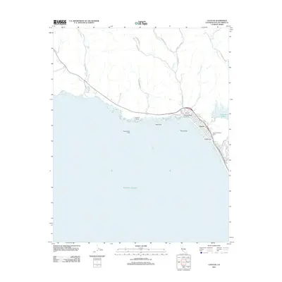
2021 Cayucos
San Luis Obispo County, CA