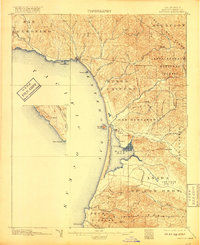
1897 Map of Cayucos
USGS Topo · Published 1917About this map
Cayucos and the small settlement of Morro anchor this coastal landscape during a period of late 19th-century land division and ranching. The survey highlights the significant topographic landmarks that define this stretch of the Pacific, from the iconic Morro Rock at the entrance of Morro Bay to the volcanic prominence of Hollister Peak and Valencia Peak in the south. The interior is defined by massive land grants including Asuncion, San Bernardo, and Canada de los Osos, reflecting the area's transition from Spanish-era ranchos to a developing agricultural economy.
Find a feature on this map
51 named features on this map. Tap any name to fly to it.
Don’t see what you’re looking for? This feature index may not catch every label — zoom into the map to look around manually.
Map Details
Editions of this 1897 Cayucos Map
5 editions found
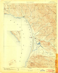
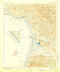
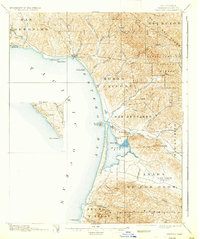
Other maps of this area

1897 · Port Harford
USGS Topo · 1:62,500

1897 · San Luis Obispo
USGS Topo · 1:62,500

1897 · Cayucos
USGS Topo · 1:62,500

1897 · Arroyo Grande
USGS Topo · 1:62,500

1900 · San Luis
USGS Topo · 1:125,000

1919 · Paso Robles
USGS Topo · 1:62,500

1919 · Adelaida
USGS Topo · 1:62,500

1919 · San Simeon
USGS Topo · 1:62,500

1932 · Adelaida
USGS Topo · 1:62,500

1937 · Cayucos
USGS Topo · 1:62,500