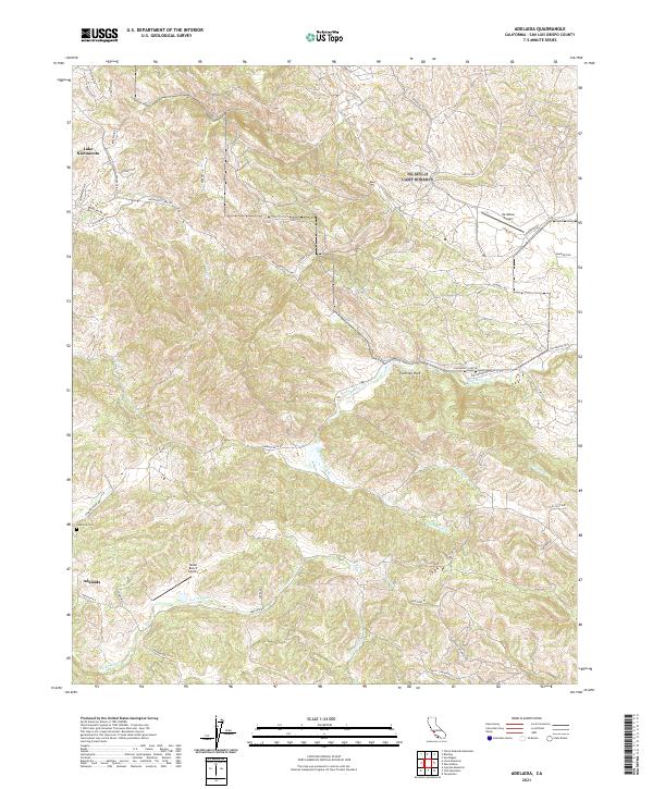
2021 Map of Adelaida
USGS Topo · Published 2021About this map
Adelaida and the surrounding highlands of San Luis Obispo County remain a landscape of winding canyon roads and ranching heritage. The terrain is defined by the drainage basins of San Marcos Creek and Las Tablas Cr, which flow through a region marked by significant elevation changes and landmarks like Chimney Rock. Modern aviation footprints are visible at Mc Millan Airport and Halter Ranch Airport, while the community's historical roots are anchored at the Adelaida Cem. In the northwest, the map captures the edge of Lake Nacimiento, where residential streets like Steelhead Rd and Reservoir Rd meet the water. This 2021 survey illustrates a transition from the structured development near the lake to the expansive agricultural and vineyard tracts found along Adelaida Rd and Vineyard Dr.
Find a feature on this map
81 named features on this map. Tap any name to fly to it.
Don’t see what you’re looking for? This feature index may not catch every label — zoom into the map to look around manually.
Map Details
Editions of this 2021 Adelaida Map
This is the sole edition of this map. No revisions or reprints were ever made.
Other maps of this area

1919 · San Miguel
USGS Topo · 1:62,500

1919 · Paso Robles
USGS Topo · 1:62,500

1919 · Bradley
USGS Topo · 1:62,500

1919 · Adelaida
USGS Topo · 1:62,500

1932 · Adelaida
USGS Topo · 1:62,500

1941 · Bradley
USGS Topo · 1:62,500

1942 · Adelaida
USGS Topo · 1:62,500

1943 · Paso Robles
USGS Topo · 1:62,500

1947 · San Luis Obispo
USGS Topo · 1:250,000

1947 · San Miguel
USGS Topo · 1:62,500