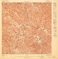
1947 Map of Adjuntas NO
USGS Topo · Published 1947About this map
Agricultural haciendas define the interior highlands of the Municipio de Adjuntas in the years following World War II. This 1:10,000 scale survey, issued by the United States Department of the Interior, reveals a landscape of coffee and sugar production centered around the Central Pellejas and family-named estates like Hacienda Santa Elena. The rugged topography is carved by the Rio Grande de Arecibo and its tributary, the Rio Pellejas, which follow winding paths through the steep mountains. Local landmarks such as Cerro La Chorrera and Mte Hormiga tower over the network of rural roads connecting Hacienda Artau and Hacienda Tres Hermanas. The map clearly delineates the municipal boundary with the Municipio de Utuado, providing a detailed view of the settlement patterns and land use in Puerto Rico's central cordillera during the mid-20th century.
Find a feature on this map
10 named features on this map. Tap any name to fly to it.
Don’t see what you’re looking for? This feature index may not catch every label — zoom into the map to look around manually.
Map Details
Editions of this 1947 Adjuntas NO Map
This is the sole edition of this map. No revisions or reprints were ever made.
Other maps of this area

1946 · Utuado
USGS Topo · 1:30,000

1946 · Bayaney
USGS Topo · 1:30,000

1946 · Monte Guilarte
USGS Topo · 1:30,000

1946 · Adjuntas
USGS Topo · 1:30,000
1947 · Utuado SE
USGS Topo · 1:10,000
1947 · Monte Guilarte NE
USGS Topo · 1:10,000
1947 · Adjuntas SO
USGS Topo · 1:10,000
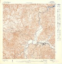
1947 · Utuado SO
USGS Topo · 1:10,000
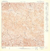
1947 · Monte Guilarte SE
USGS Topo · 1:10,000
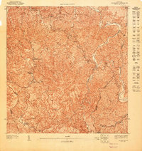
1947 · Adjuntas NE
USGS Topo · 1:10,000