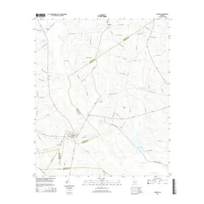
2014 Map of Adrian
USGS Topo · Published 2014About this map
The Ohoopee River winds through this landscape on the border of Emanuel, Johnson, and Treutlen counties, anchoring a network of family-named roads and water bodies. The settlement of Adrian sits at a critical junction of Us-80 and local routes like Railroad St, serving as a hub for the surrounding timber and agricultural lands. Further north, the community of Meeks is situated near several rural churches and family cemeteries that mark the area's genealogical history.
Find a feature on this map
82 named features on this map. Tap any name to fly to it.
Don’t see what you’re looking for? This feature index may not catch every label — zoom into the map to look around manually.
Map Details
Editions of this 2014 Adrian Map
This is the sole edition of this map. No revisions or reprints were ever made.
Other maps of this area

1957 · Macon
USGS Topo · 1:250,000

1958 · Macon
USGS Topo · 1:250,000

1964 · Macon
USGS Topo · 1:250,000

1970 · Covena
USGS Topo · 1:24,000

1971 · Norristown
USGS Topo · 1:24,000

1971 · Soperton North
USGS Topo · 1:24,000

1971 · Dellwood
USGS Topo · 1:24,000

1971 · Rockledge
USGS Topo · 1:24,000

1974 · Kite
USGS Topo · 1:24,000

1974 · Wrightsville
USGS Topo · 1:24,000