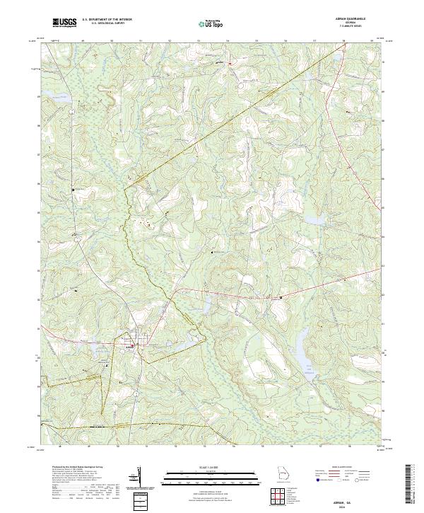
2024 Map of Adrian
USGS Topo · Published 2024About this map
The Ohoopee River system meanders through the heart of the coastal plain at the intersection of Johnson, Emanuel, and Treutlen Counties. This modern survey illustrates the rural landscape around the town of Adrian, where residential streets meet the wetlands of the Adrian Housing Pond. The surrounding territory is defined by timbered tracts and scattered agricultural settlements like Meeks, connected by a network of family-named roads such as Mildred Smith Rd and Mimbs Coleman Rd. For genealogists, the map is particularly valuable for its precise locations of family and community burial grounds, including Foskey Cem, Drake Cem, and Adrian Memorial Cem. Water-powered history is preserved in the naming of Keas Old Millpond, while other features like Brazwell Pond and Archers Pond mark the low-lying drainage basins characteristic of this region.
Find a feature on this map
76 named features on this map. Tap any name to fly to it.
Don’t see what you’re looking for? This feature index may not catch every label — zoom into the map to look around manually.
Map Details
Editions of this 2024 Adrian Map
This is the sole edition of this map. No revisions or reprints were ever made.
Other maps of this area

1957 · Macon
USGS Topo · 1:250,000

1958 · Macon
USGS Topo · 1:250,000

1964 · Macon
USGS Topo · 1:250,000

1970 · Covena
USGS Topo · 1:24,000

1971 · Norristown
USGS Topo · 1:24,000

1971 · Soperton North
USGS Topo · 1:24,000

1971 · Dellwood
USGS Topo · 1:24,000

1971 · Rockledge
USGS Topo · 1:24,000

1974 · Kite
USGS Topo · 1:24,000

1974 · Wrightsville
USGS Topo · 1:24,000