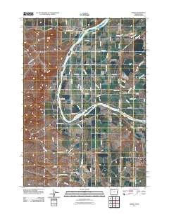
2011 Map of Adrian
USGS Topo · Published 2011About this map
Adrian sits as a central hub in this agricultural landscape of the Snake River Valley, where the Snake River carves a winding path around Suzy Island and the Big Bend. The complex irrigation infrastructure necessary for high-desert farming is evident through an extensive network of drains and canals, including the Riverside Canal, Golden Gate Canal, and the South Canal. Notable engineered features like the Coyote Gulch Siphon and Tunnel Number 6 along Owyhee Tunnel Rd illustrate the massive effort required to move water across this terrain. To the south, smaller communities like Napton and Coyote Gulch are situated near Alkali Creek, while the Arena Valley and Deer Flat regions to the east show a landscape defined by geometric road grids and late-century drainage systems such as the East Alkali Drain and Arena Lake Drain.
Find a feature on this map
75 named features on this map. Tap any name to fly to it.
Don’t see what you’re looking for? This feature index may not catch every label — zoom into the map to look around manually.
Map Details
Editions of this 2011 Adrian Map
This is the sole edition of this map. No revisions or reprints were ever made.
Other maps of this area

1898 · Nampa
USGS Topo · 1:125,000

1906 · Mitchell Butte
USGS Topo · 1:125,000

1955 · Boise
USGS Topo · 1:250,000

1957 · Wilder
USGS Topo · 1:24,000

1958 · Boise
USGS Topo · 1:250,000

1958 · Homedale
USGS Topo · 1:24,000

1962 · Boise
USGS Topo · 1:250,000
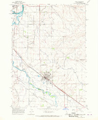
1965 · Parma
USGS Topo · 1:24,000
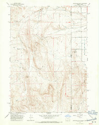
1967 · Graveyard Point
USGS Topo · 1:24,000
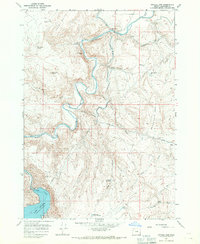
1967 · Owyhee Dam
USGS Topo · 1:24,000