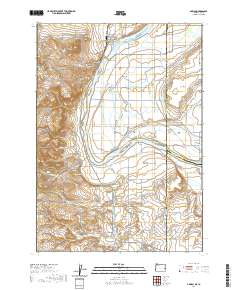
2020 Map of Adrian
USGS Topo · Published 2020About this map
Adrian sits at the center of this agricultural landscape along the Snake River, where the border between Oregon and Idaho is defined by both water and straight-line boundaries. The topography is dominated by the intricate network of water management required for high-desert farming, featuring an extensive system of drains and laterals such as the Central Alkali Drain, Graham Lateral, and the Riverside Canal. These man-made watercourses intersect the natural terrain of the Big Bend and flow around river features like Suzy Island and Hettinger Island.
Find a feature on this map
92 named features on this map. Tap any name to fly to it.
Don’t see what you’re looking for? This feature index may not catch every label — zoom into the map to look around manually.
Map Details
Editions of this 2020 Adrian Map
This is the sole edition of this map. No revisions or reprints were ever made.
Other maps of this area

1898 · Nampa
USGS Topo · 1:125,000

1906 · Mitchell Butte
USGS Topo · 1:125,000

1955 · Boise
USGS Topo · 1:250,000

1957 · Wilder
USGS Topo · 1:24,000

1958 · Boise
USGS Topo · 1:250,000

1958 · Homedale
USGS Topo · 1:24,000

1962 · Boise
USGS Topo · 1:250,000
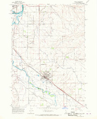
1965 · Parma
USGS Topo · 1:24,000
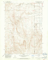
1967 · Graveyard Point
USGS Topo · 1:24,000
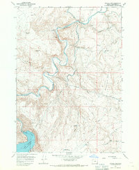
1967 · Owyhee Dam
USGS Topo · 1:24,000