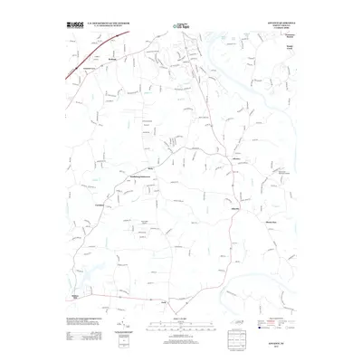
2013 Map of Advance
USGS Topo · Published 2013About this map
The Yadkin River defines the southern reach of this landscape, winding through a region characterized by established agricultural communities and small residential clusters. Moving north from the river, the terrain transitions into a network of creek drainages including Fulton Cr and Peoples Cr, which helped shape the locations of long-standing crossroads like Advance and Elbaville. This 2013 survey illustrates the modern road infrastructure connecting historical pockets such as Heidleberg Settlement and Bixby.
Find a feature on this map
201 named features on this map. Tap any name to fly to it.
Don’t see what you’re looking for? This feature index may not catch every label — zoom into the map to look around manually.
Map Details
Editions of this 2013 Advance Map
This is the sole edition of this map. No revisions or reprints were ever made.
Other maps of this area

1891 · Yadkinville
USGS Topo · 1:125,000

1893 · Statesville
USGS Topo · 1:125,000

1893 · Yadkinville
USGS Topo · 1:125,000

1950 · Winston-Salem West
USGS Topo · 1:24,000

1950 · Lexington West
USGS Topo · 1:24,000

1950 · Churchland
USGS Topo · 1:24,000

1951 · Winston-Salem West
USGS Topo · 1:24,000

1951 · Churchland
USGS Topo · 1:24,000

1951 · Lexington West
USGS Topo · 1:24,000

1953 · Charlotte
USGS Topo · 1:250,000