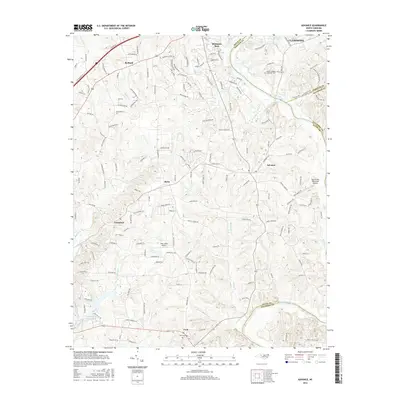
2016 Map of Advance
USGS Topo · Published 2016About this map
The Yadkin River defines the landscape as it winds through the meeting point of Davie, Forsyth, and Davidson counties. Along its banks, the Idols Reservoir and various creeks like Bailey Cr and Carter Cr underscore the region's historical reliance on these waterways. This 2016 survey captures the residential expansion surrounding the village of Advance and the gated community of Bermuda Run, juxtaposed with longstanding rural landmarks. Aviation history is noted by the presence of Twin Lakes Airport and the Marchmont Plantation Airpark. Genealogists may find value in documented burial grounds such as Fork Cem near the southern settlement of Fork, and the Mount Pleasant Methodist Cem further north, which alongside settlements like Cornatzer and Bixby, illustrate the settled character of this Piedmont territory.
Find a feature on this map
163 named features on this map. Tap any name to fly to it.
Don’t see what you’re looking for? This feature index may not catch every label — zoom into the map to look around manually.
Map Details
Editions of this 2016 Advance Map
This is the sole edition of this map. No revisions or reprints were ever made.
Other maps of this area

1891 · Yadkinville
USGS Topo · 1:125,000

1893 · Statesville
USGS Topo · 1:125,000

1893 · Yadkinville
USGS Topo · 1:125,000

1950 · Winston-Salem West
USGS Topo · 1:24,000

1950 · Lexington West
USGS Topo · 1:24,000

1950 · Churchland
USGS Topo · 1:24,000

1951 · Winston-Salem West
USGS Topo · 1:24,000

1951 · Churchland
USGS Topo · 1:24,000

1951 · Lexington West
USGS Topo · 1:24,000

1953 · Charlotte
USGS Topo · 1:250,000