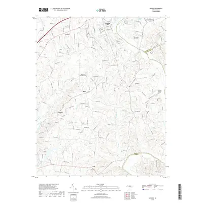
2019 Map of Advance
USGS Topo · Published 2019About this map
The Yadkin River defines the landscape of this region, carving a path that separates Davie, Davidson, and Forsyth counties. Along its banks and the interior uplands, established communities like Advance and Bermuda Run anchor the rural-to-suburban transition. The topography is marked by a complex network of tributaries including Dutchman Creek, Fulton Cr, and Peoples Cr, which historically dictated the placement of early settlements and road networks.
Find a feature on this map
170 named features on this map. Tap any name to fly to it.
Don’t see what you’re looking for? This feature index may not catch every label — zoom into the map to look around manually.
Map Details
Editions of this 2019 Advance Map
This is the sole edition of this map. No revisions or reprints were ever made.
Other maps of this area

1891 · Yadkinville
USGS Topo · 1:125,000

1893 · Statesville
USGS Topo · 1:125,000

1893 · Yadkinville
USGS Topo · 1:125,000

1950 · Winston-Salem West
USGS Topo · 1:24,000

1950 · Lexington West
USGS Topo · 1:24,000

1950 · Churchland
USGS Topo · 1:24,000

1951 · Winston-Salem West
USGS Topo · 1:24,000

1951 · Churchland
USGS Topo · 1:24,000

1951 · Lexington West
USGS Topo · 1:24,000

1953 · Charlotte
USGS Topo · 1:250,000