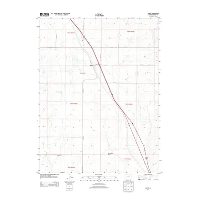
2013 Map of Agate
USGS Topo · Published 2013About this map
Agate serves as the central point of this high-plains landscape in Elbert County, positioned where Main St and a network of county roads intersect the primary corridor through the region. The landscape is defined by the drainage patterns of Agate Cr and E Bijou Cr, which carve through the undulating terrain of Godfrey Gulch and East Godfrey Gulch. Local water management is visible through features like Ball Reservoir and the M H Number 2 Reservoir, essential infrastructure for the agricultural operations that dominate this part of Colorado. The grid of county roads, including CO Road 153 and CO Road 166, illustrates the systematic division of land and the connectivity between isolated homesteads and the community center.
Find a feature on this map
25 named features on this map. Tap any name to fly to it.
Don’t see what you’re looking for? This feature index may not catch every label — zoom into the map to look around manually.
Map Details
Editions of this 2013 Agate Map
This is the sole edition of this map. No revisions or reprints were ever made.
Other maps of this area

1891 · Limon
USGS Topo · 1:125,000

1892 · Limon
USGS Topo · 1:125,000

1953 · Denver
USGS Topo · 1:250,000

1954 · Limon
USGS Topo · 1:250,000

1957 · Denver
USGS Topo · 1:250,000

1957 · Limon
USGS Topo · 1:250,000

1958 · Limon
USGS Topo · 1:250,000

1958 · Denver
USGS Topo · 1:250,000

1960 · Denver
USGS Topo · 1:250,000

1968 · Deer Trail
USGS Topo · 1:24,000