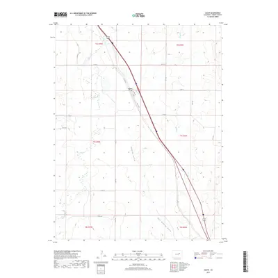
2019 Map of Agate
USGS Topo · Published 2019About this map
Agate sits along the intersection of modern transportation and the historic path of Old Us 40 Rd in eastern Elbert County. This landscape is defined by the drainage networks of E Bijou Cr, also known as East Bijou Creek, and Muddy Cr, which carve through the high plains. The terrain is marked by significant topographical depressions, notably Godfrey Gulch and East Godfrey Gulch, illustrating the erosional patterns typical of this part of Colorado. A network of county roads, such as Co RD 170 and Co RD 153, follows the section lines of the Public Land Survey System, reflecting the organized ranching and agricultural settlement patterns of the region. The map captures the quiet isolation of these plains, where small clusters of development like Agate remain anchored to the critical rail and road corridors.
Find a feature on this map
25 named features on this map. Tap any name to fly to it.
Don’t see what you’re looking for? This feature index may not catch every label — zoom into the map to look around manually.
Map Details
Editions of this 2019 Agate Map
This is the sole edition of this map. No revisions or reprints were ever made.
Other maps of this area

1891 · Limon
USGS Topo · 1:125,000

1892 · Limon
USGS Topo · 1:125,000

1953 · Denver
USGS Topo · 1:250,000

1954 · Limon
USGS Topo · 1:250,000

1957 · Denver
USGS Topo · 1:250,000

1957 · Limon
USGS Topo · 1:250,000

1958 · Limon
USGS Topo · 1:250,000

1958 · Denver
USGS Topo · 1:250,000

1960 · Denver
USGS Topo · 1:250,000

1968 · Deer Trail
USGS Topo · 1:24,000