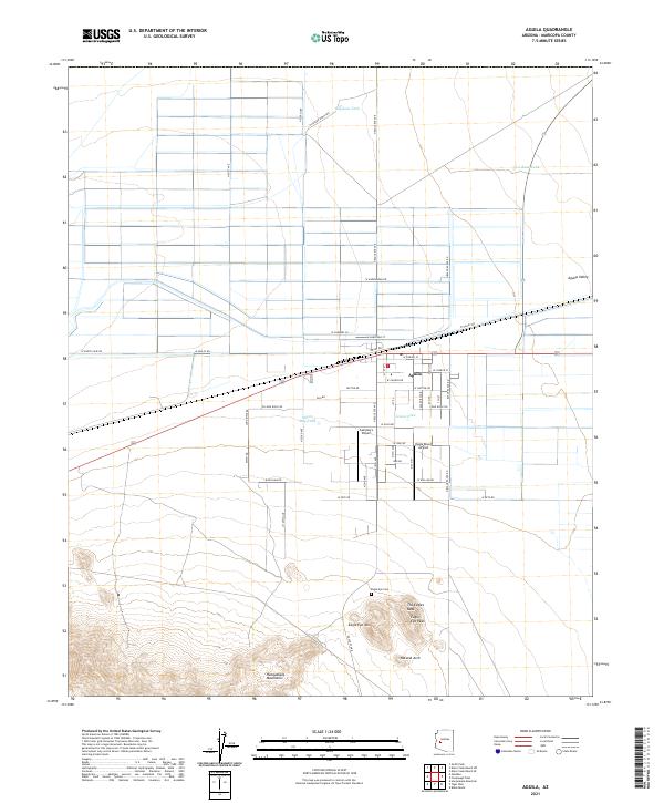
2021 Map of Aguila
USGS Topo · Published 2021About this map
Aguila stands as the primary settlement in this corner of the Aguila Valley, situated along a grid of agricultural and desert roads. The town's layout reflects a mix of traditional residential streets and aviation-focused development, evidenced by the proximity of Sampley's Airport and Eagle Roost Airpark. The surrounding landscape is defined by its arid character, marked by livestock watering points like Haydons Tank and Milton Ray Tank, which are critical infrastructure for ranching in this part of Maricopa County.
Find a feature on this map
57 named features on this map. Tap any name to fly to it.
Don’t see what you’re looking for? This feature index may not catch every label — zoom into the map to look around manually.
Map Details
Editions of this 2021 Aguila Map
This is the sole edition of this map. No revisions or reprints were ever made.
Other maps of this area

1923 · Signal
USGS Topo · 1:250,000

1942 · Signal
USGS Topo · 1:250,000

1942 · Vicksburg
USGS Topo · 1:250,000

1950 · Prescott
USGS Topo · 1:250,000

1954 · Prescott
USGS Topo · 1:250,000

1954 · Phoenix
USGS Topo · 1:250,000

1957 · Phoenix
USGS Topo · 1:250,000

1958 · Prescott
USGS Topo · 1:250,000

1958 · Phoenix
USGS Topo · 1:250,000

1959 · Prescott
USGS Topo · 1:250,000