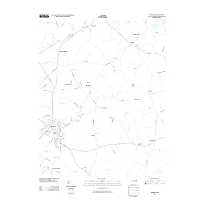
2013 Map of Ahoskie
USGS Topo · Published 2013About this map
Ahoskie serves as the primary hub of this eastern North Carolina landscape, where a dense grid of streets gives way to a sprawling network of swamps and small communities. The map highlights a rural economy historically tied to water and rail, visible in the distribution of settlements like Cofield and South Tunis near the Wiccacon River. The presence of Dildys Mill and Montgomerys Millpond points to the area's legacy of water-powered industry, while family-named locales such as Brantleys Grove and Brinkleyville reflect the deep-rooted social geography of Hertford County. To the northeast, the Farmers Chemical Assoc Lake indicates modern industrial land use adjacent to the traditional wetlands of Whiteoak Swamp and Horse Swamp. This coastal plain terrain is defined by a low-lying drainage system where numerous branches like Snake Br and Mill Br feed into larger watercourses, shaping the placement of early crossroads and farmsteads.
Find a feature on this map
109 named features on this map. Tap any name to fly to it.
Don’t see what you’re looking for? This feature index may not catch every label — zoom into the map to look around manually.
Map Details
Editions of this 2013 Ahoskie Map
This is the sole edition of this map. No revisions or reprints were ever made.
Other maps of this area

1908 · Winton
USGS Topo · 1:62,500

1953 · Norfolk
USGS Topo · 1:250,000

1972 · Aulander
USGS Topo · 1:24,000
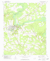
1973 · Murfreesboro
USGS Topo · 1:24,000

1977 · Union
USGS Topo · 1:24,000
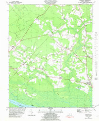
1981 · Gatesville
USGS Topo · 1:24,000

1982 · Powellsville
USGS Topo · 1:24,000
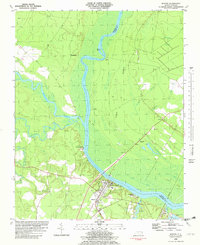
1982 · Winton
USGS Topo · 1:24,000
1982 · Colerain
USGS Topo · 1:24,000
1982 · Harrellsville
USGS Topo · 1:24,000