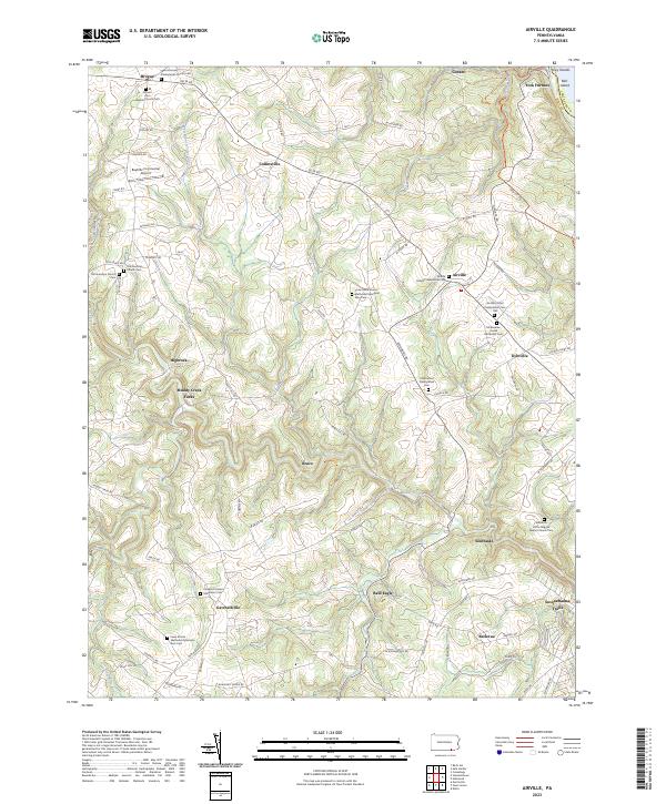
2023 Map of Airville
USGS Topo · Published 2023About this map
The rolling agricultural and riparian landscape of southern York County is defined by the winding course of Muddy Creek, which carves through the terrain as it flows toward the Susquehanna River. Small rural crossroads and hamlets such as Brogue, Collinsville, and Airville anchor a network of country roads including Delta Rd and Woodbine Rd. This area has long been a center of community life organized around numerous denominational congregations, as evidenced by the frequency of local burying grounds such as Old Guinston Church Cem and McKendree United Methodist Cem.
Find a feature on this map
98 named features on this map. Tap any name to fly to it.
Don’t see what you’re looking for? This feature index may not catch every label — zoom into the map to look around manually.
Map Details
Editions of this 2023 Airville Map
This is the sole edition of this map. No revisions or reprints were ever made.
Other maps of this area

1900 · Parkton
USGS Topo · 1:62,500

1901 · Belair
USGS Topo · 1:62,500

1902 · Parkton
USGS Topo · 1:62,500

1908 · York
USGS Topo · 1:62,500

1910 · York
USGS Topo · 1:62,500

1912 · Mc Calls Ferry
USGS Topo · 1:62,500

1942 · Bel Air
USGS Topo · 1:62,500

1943 · Mc Calls Ferry
USGS Topo · 1:62,500

1944 · Norrisville
USGS Topo · 1:31,680

1945 · Bel Air
USGS Topo · 1:62,500
Featured Places
- Peach Bottom Township, PA
- Lower Chanceford Township, PA
- Collinsville, Chanceford Township
- Bellevue, Peach Bottom Township
- Woodbine, Peach Bottom Township