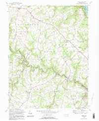
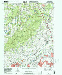
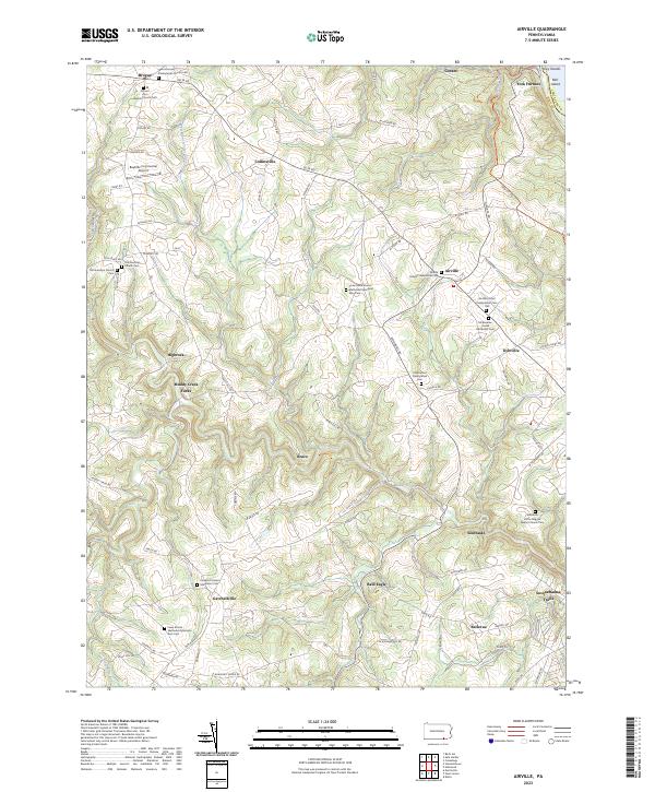
1992 Map of Airville
USGS Topo · Published 1995About this map
Muddy Creek carves a winding path through the southeastern York County landscape, defining the boundaries between Chanceford, Lower Chanceford, and Fawn townships. This 1992 revision, based on earlier surveys, captures a predominantly rural network of crossroads settlements and small hamlets connected by a maze of runs and branches. The eastern edge is anchored by the Susquehanna River and Lake Aldred, where the Indian Steps Museum stands near Bair Island. The map is particularly useful for genealogical research, identifying numerous local landmarks such as Guinston Ch, McKendree Ch, and Chanceford Cem. From the junction at Muddy Creek Forks to the northern village of Brogue, the map details the transition from high ridgeline farms to the deep valleys formed by Otter Creek and South Fork.
Find a feature on this map
53 named features on this map. Tap any name to fly to it.
Don’t see what you’re looking for? This feature index may not catch every label — zoom into the map to look around manually.
Map Details
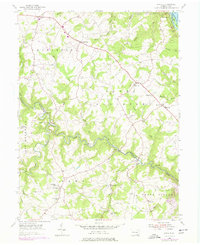
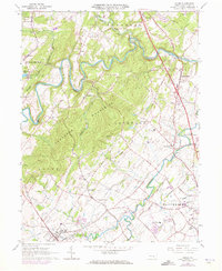
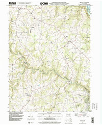
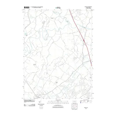
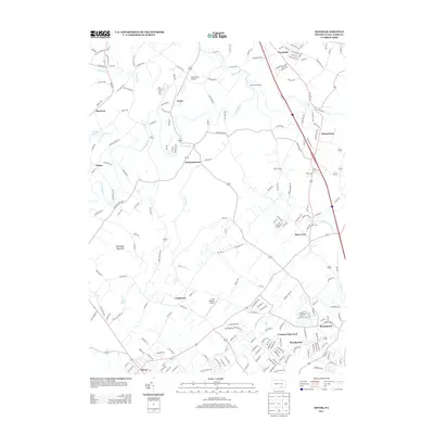
Editions of this 1992 Airville Map
This is the sole edition of this map. No revisions or reprints were ever made.
Historical Maps of Martic Township Through Time
11 maps found
Featured Locations
- East Hopewell Township, PA
- Peach Bottom Township, PA
- Lower Chanceford Township, PA
- Chanceford Township, PA
- Martic Township, PA