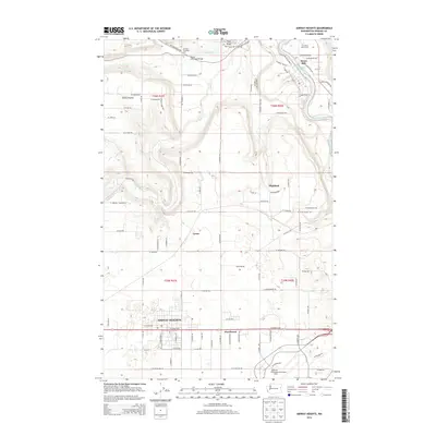
2014 Map of Airway Heights
USGS Topo · Published 2014About this map
The plateau west of the city is dominated by the growing community of Airway Heights and the sprawling footprint of the Spokane International Airport. This 2014 survey documents a landscape defined by significant infrastructure and transition, where the geometric street grid of the airport and nearby commercial corridors like W Sunset Hwy meet the more scattered residential clusters of Hazelwood, Lyons, and Highland. To the north, the terrain drops toward the Spokane River, where Riverside State Park protects the riverbanks and the Nine Mile Reservoir.
Find a feature on this map
53 named features on this map. Tap any name to fly to it.
Don’t see what you’re looking for? This feature index may not catch every label — zoom into the map to look around manually.
Map Details
Editions of this 2014 Airway Heights Map
This is the sole edition of this map. No revisions or reprints were ever made.
Other maps of this area

1901 · Spokane
USGS Topo · 1:125,000

1943 · Medical Lake
USGS Topo · 1:62,500

1944 · Clayton
USGS Topo · 1:62,500

1949 · Deer Park
USGS Topo · 1:62,500

1950 · Spokane SW
USGS Topo · 1:24,000

1950 · Spokane NW
USGS Topo · 1:24,000

1950 · Spokane
USGS Topo · 1:62,500

1950 · Clayton
USGS Topo · 1:62,500

1951 · Deer Park
USGS Topo · 1:62,500

1954 · Airway Heights
USGS Topo · 1:24,000