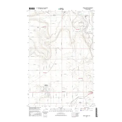
2017 Map of Airway Heights
USGS Topo · Published 2017About this map
Airway Heights and the sprawling facility of the Spokane International Airport anchor the southern portion of this Washington landscape, where urban expansion meets the plateaus of the Inland Northwest. The terrain drops sharply toward the northeast, where the Spokane River and Nine Mile Reservoir are framed by the steep contours of Pine Bluff and Riverside Bluff. These natural features overlook the small settlement of Seven Mile and its namesake Seven Mile Road-Bridge.
Find a feature on this map
126 named features on this map. Tap any name to fly to it.
Don’t see what you’re looking for? This feature index may not catch every label — zoom into the map to look around manually.
Map Details
Editions of this 2017 Airway Heights Map
This is the sole edition of this map. No revisions or reprints were ever made.
Other maps of this area

1901 · Spokane
USGS Topo · 1:125,000

1943 · Medical Lake
USGS Topo · 1:62,500

1944 · Clayton
USGS Topo · 1:62,500

1949 · Deer Park
USGS Topo · 1:62,500

1950 · Spokane SW
USGS Topo · 1:24,000

1950 · Spokane NW
USGS Topo · 1:24,000

1950 · Spokane
USGS Topo · 1:62,500

1950 · Clayton
USGS Topo · 1:62,500

1951 · Deer Park
USGS Topo · 1:62,500

1954 · Airway Heights
USGS Topo · 1:24,000