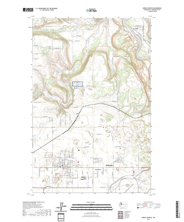
2023 Map of Airway Heights
USGS Topo · Published 2023About this map
Airway Heights and the adjacent Hazelwood community form the residential core of this western Spokane landscape, heavily influenced by the presence of Spokane International Airport. The terrain transitions from the developed streets of the city to the steep breaks of the Spokane River valley, where Riverside State Park preserves the river corridor. Significant topographic landmarks like White Bluff and Pine Bluff overlook the drainage basins of Deep Creek and Coulee Creek, which cut through the northern rural expanse. The map illustrates the 21st-century footprint of this region, balancing the busy transit hubs of Spokane with older rural pockets like Lyons and Indian Prairie. This document is a primary resource for observing the intersection of modern aviation infrastructure with traditional High Desert land divisions and historic settlement patterns.
Find a feature on this map
111 named features on this map. Tap any name to fly to it.
Don’t see what you’re looking for? This feature index may not catch every label — zoom into the map to look around manually.
Map Details
Editions of this 2023 Airway Heights Map
This is the sole edition of this map. No revisions or reprints were ever made.
Other maps of this area

1901 · Spokane
USGS Topo · 1:125,000

1943 · Medical Lake
USGS Topo · 1:62,500

1944 · Clayton
USGS Topo · 1:62,500

1949 · Deer Park
USGS Topo · 1:62,500

1950 · Spokane SW
USGS Topo · 1:24,000

1950 · Spokane NW
USGS Topo · 1:24,000

1950 · Spokane
USGS Topo · 1:62,500

1950 · Clayton
USGS Topo · 1:62,500

1951 · Deer Park
USGS Topo · 1:62,500

1954 · Airway Heights
USGS Topo · 1:24,000