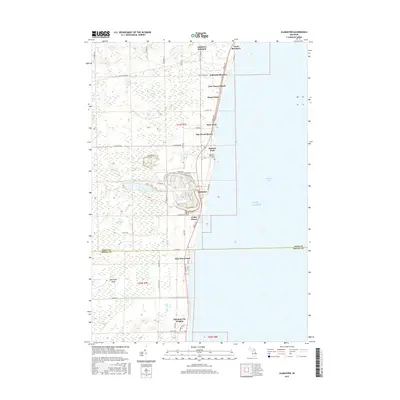
2017 Map of Alabaster
USGS Topo · Published 2017About this map
The Lake Huron shoreline of Iosco County is defined here by a series of residential developments and natural features north of the E Br Au Gres River. The settlement of Alabaster stands as the central hub, supported by smaller shoreline communities such as Lake Huron Beach, Anderson Bayview, and Harmon City Heights. Inland, the terrain is characterized by significant wetlands including Kendall Marsh, Growell Swamp, and the Alabaster Swamp, illustrating the hydrological transition between the lakefront and the Michigan interior.
Find a feature on this map
60 named features on this map. Tap any name to fly to it.
Don’t see what you’re looking for? This feature index may not catch every label — zoom into the map to look around manually.
Map Details
Editions of this 2017 Alabaster Map
This is the sole edition of this map. No revisions or reprints were ever made.
Other maps of this area

1954 · Tawas City
USGS Topo · 1:250,000

1958 · Tawas City
USGS Topo · 1:250,000
1959 · Tawas City
USGS Topo · 1:62,500
1959 · East Tawas
USGS Topo · 1:62,500
1966 · Point Lookout
USGS Topo · 1:24,000
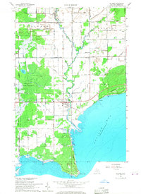
1966 · Au Gres
USGS Topo · 1:24,000
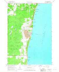
1966 · Alabaster
USGS Topo · 1:24,000
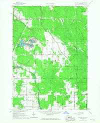
1966 · National City
USGS Topo · 1:24,000
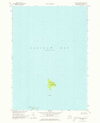
1970 · Charity Island
USGS Topo · 1:24,000
1984 · Tawas City
USGS Topo · 1:100,000