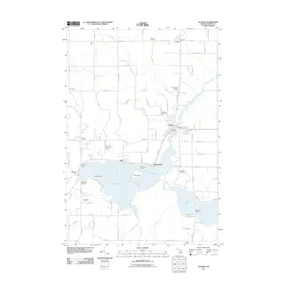
2011 Map of Alanson
USGS Topo · Published 2011About this map
Crooked Lake and Pickerel Lake dominate this portion of the Inland Waterway, where the Crooked River serves as a vital hydrological link between these expansive basins. The village of Alanson acts as a central hub for the area, supported by smaller shoreline settlements like Oden, Ponshewaing, and Conway. The landscape is a mix of recreational development and historical institutional sites, including the Oden State Fish Hatchery and several localized burial grounds such as the Mennonite Cemetery and the Emmet County Poor Farm Cemetery.
Find a feature on this map
51 named features on this map. Tap any name to fly to it.
Don’t see what you’re looking for? This feature index may not catch every label — zoom into the map to look around manually.
Map Details
Editions of this 2011 Alanson Map
This is the sole edition of this map. No revisions or reprints were ever made.
Other maps of this area

1955 · Cheboygan
USGS Topo · 1:250,000

1957 · Wolverine
USGS Topo · 1:62,500

1957 · Mullett Lake
USGS Topo · 1:62,500

1958 · Cheboygan
USGS Topo · 1:250,000

1958 · Pellston
USGS Topo · 1:62,500

1958 · Petoskey
USGS Topo · 1:62,500

1975 · Petoskey NW
USGS Topo · 1:24,000

1975 · Petoskey SW
USGS Topo · 1:24,000

1975 · Petoskey NE
USGS Topo · 1:24,000

1982 · Petoskey
USGS Topo · 1:100,000
Featured Places
- Alanson, MI
- Bear Creek Township, MI
- Littlefield Township, MI
- Pleasantview Township, MI
- Maple River Township, MI