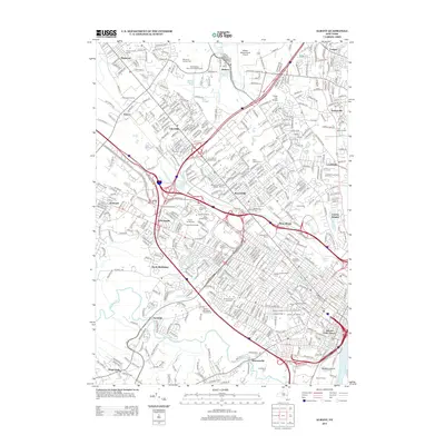
2013 Map of Albany
USGS Topo · Published 2013About this map
Colonie and the western reaches of New York's state capital appear here in the early 21st century, showing an urban landscape defined by major institutional campuses and transit corridors. The area is heavily marked by higher education, centered on the sprawling grounds of SUNY at Albany with its residential clusters like Dutch Quadrangle and Indian Quadrangle. This academic concentration extends southeast into the city proper with Maria College of Albany, the College of Saint Rose, and the medical and legal complexes including Albany Medical College and Albany Law School.
Find a feature on this map
456 named features on this map. Tap any name to fly to it.
Don’t see what you’re looking for? This feature index may not catch every label — zoom into the map to look around manually.
Map Details
Editions of this 2013 Albany Map
This is the sole edition of this map. No revisions or reprints were ever made.
Other maps of this area

1893 · Cohoes
USGS Topo · 1:62,500

1893 · Troy
USGS Topo · 1:62,500

1893 · Schenectady
USGS Topo · 1:62,500

1893 · Albany
USGS Topo · 1:62,500

1895 · Troy
USGS Topo · 1:62,500

1895 · Cohoes
USGS Topo · 1:62,500

1895 · Albany
USGS Topo · 1:62,500

1895 · Schenectady
USGS Topo · 1:62,500

1898 · Schenectady
USGS Topo · 1:62,500

1898 · Albany
USGS Topo · 1:62,500