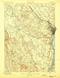
1895 Map of Albany
USGS Topo · Published 1895About this map
Albany is depicted here as a dense urban core at a critical river and rail junction during the late nineteenth century. The city's growth is framed by its immediate surroundings, including West Albany and the industrial activity at Kenwood along the Normans Kill. To the west, the landscape transitions from the flat river valley into the prominent elevations of Countryman Hill and Wolf Hill, revealing a network of smaller mill towns and agrarian settlements like French Mills and Guilderland Center.
Find a feature on this map
89 named features on this map. Tap any name to fly to it.
Don’t see what you’re looking for? This feature index may not catch every label — zoom into the map to look around manually.
Map Details
Editions of this 1895 Albany Map
This is the sole edition of this map. No revisions or reprints were ever made.
Other maps of this area
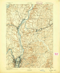
1893 · Cohoes
USGS Topo · 1:62,500
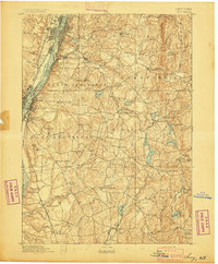
1893 · Troy
USGS Topo · 1:62,500
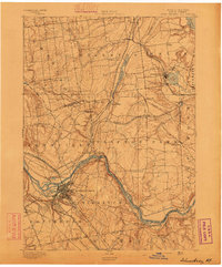
1893 · Schenectady
USGS Topo · 1:62,500
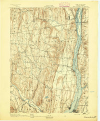
1893 · Coxsackie
USGS Topo · 1:62,500
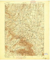
1893 · Durham
USGS Topo · 1:62,500
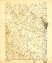
1893 · Albany
USGS Topo · 1:62,500
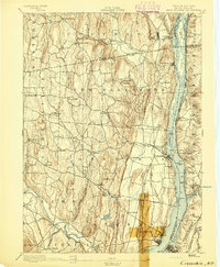
1894 · Coxsackie
USGS Topo · 1:62,500
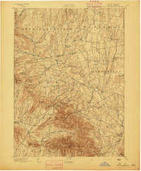
1894 · Durham
USGS Topo · 1:62,500
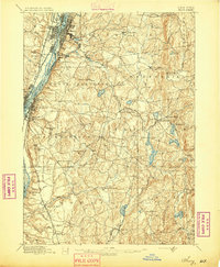
1895 · Troy
USGS Topo · 1:62,500
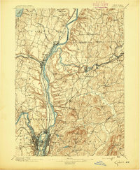
1895 · Cohoes
USGS Topo · 1:62,500