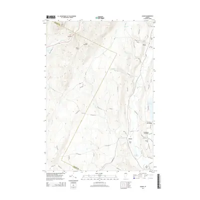
2015 Map of Albany
USGS Topo · Published 2015About this map
Lowell Mountains and the high ground of Mt Norris dominate the western horizon of this Vermont landscape, where the headwaters of the Gihon River and Wild Br carve through the deep valley of Eden Notch. The eastern half of the map reveals a more settled rural pattern, centered on the historic village of Albany and the higher elevation plateau of Craftsbury Common. This area is defined by its glacial hydrology, featuring Little Hosmer Pond, Mud Pond, and the winding course of the Black River. Local history is anchored by several burial grounds, including the Albany Village Cem and Craftsbury Village Cem, while Sterling Coll sits at the heart of the Craftsbury community. The network of backroads like Hatch Brook Rd and Collinsville Rd connects these upland hamlets to the various brooks and branches that drain the Green Mountain interior.
Find a feature on this map
69 named features on this map. Tap any name to fly to it.
Don’t see what you’re looking for? This feature index may not catch every label — zoom into the map to look around manually.
Map Details
Editions of this 2015 Albany Map
This is the sole edition of this map. No revisions or reprints were ever made.
Other maps of this area

1919 · Montgomery
USGS Topo · 1:62,500

1920 · Montgomery
USGS Topo · 1:62,500

1920 · Irasburg
USGS Topo · 1:62,500

1923 · Irasburg
USGS Topo · 1:48,000

1925 · Irasburg
USGS Topo · 1:62,500

1925 · Jay Peak
USGS Topo · 1:62,500

1927 · Hyde Park
USGS Topo · 1:48,000

1928 · Hardwick
USGS Topo · 1:62,500

1930 · Hyde Park
USGS Topo · 1:62,500

1934 · Hardwick
USGS Topo · 1:48,000