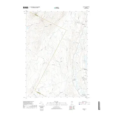
2018 Map of Albany
USGS Topo · Published 2018About this map
The Lowell Mountains dominate the western landscape of this Orleans County survey, marked by high-altitude features like Eden Notch and Bigelow Basin. This 2018 study reveals a classic Vermont settlement pattern, where the village of Albany and the community of Orleans sit along the drainage of the Black River. The presence of several family-history sites, including Albany Village Cem and the Craftsbury Common Cem, provides a detailed record of the region's long-standing rural population. The terrain drops from the peaks of Mt Norris down to significant water bodies like Lake Eden and Mud Pond. Historical transportation corridors are well-defined by the Bailey Hazen Rd, tracing through a landscape still shaped by its high-country ridges and river valleys.
Find a feature on this map
67 named features on this map. Tap any name to fly to it.
Don’t see what you’re looking for? This feature index may not catch every label — zoom into the map to look around manually.
Map Details
Editions of this 2018 Albany Map
This is the sole edition of this map. No revisions or reprints were ever made.
Other maps of this area

1919 · Montgomery
USGS Topo · 1:62,500

1920 · Montgomery
USGS Topo · 1:62,500

1920 · Irasburg
USGS Topo · 1:62,500

1923 · Irasburg
USGS Topo · 1:48,000

1925 · Irasburg
USGS Topo · 1:62,500

1925 · Jay Peak
USGS Topo · 1:62,500

1927 · Hyde Park
USGS Topo · 1:48,000

1928 · Hardwick
USGS Topo · 1:62,500

1930 · Hyde Park
USGS Topo · 1:62,500

1934 · Hardwick
USGS Topo · 1:48,000