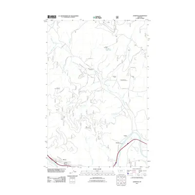
2011 Map of Alberton
USGS Topo · Published 2011About this map
The town of Alberton serves as the primary hub along the Clark Fork river in this 2011 survey of western Montana. Positioned at the edge of the river, the settlement's layout is defined by the proximity of the water and the transportation routes that follow the valley. Outside the main townsite, the landscape is characterized by its drainage systems and higher elevations, with prominent points like Ellis Mountain and Soudan situated to the east. The map detail highlights the integration of community services in a mountainous region, including the Frenchtown Rural Fire Dist Sta 4 and the Frenchtown Rural Fire Dist Sta 8, alongside local infrastructure like the Nine Mile Airport and the Ninemile Remount Depot Point of Interest.
Find a feature on this map
1 named feature on this map. Tap any name to fly to it.
Don’t see what you’re looking for? This feature index may not catch every label — zoom into the map to look around manually.
Map Details
Editions of this 2011 Alberton Map
This is the sole edition of this map. No revisions or reprints were ever made.
Other maps of this area

1911 · Lolo
USGS Topo · 1:250,000

1912 · Missoula
USGS Topo · 1:125,000

1913 · Lolo
USGS Topo · 1:250,000

1956 · Wallace
USGS Topo · 1:250,000

1956 · Hamilton
USGS Topo · 1:250,000

1959 · Hamilton
USGS Topo · 1:250,000

1959 · Tarkio
USGS Topo · 1:62,500

1959 · Alberton
USGS Topo · 1:62,500

1960 · Wallace
USGS Topo · 1:250,000

1960 · Hamilton
USGS Topo · 1:250,000