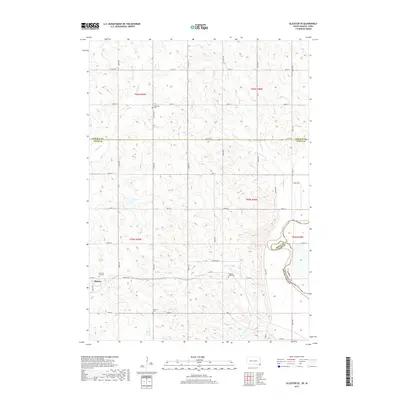
2017 Map of Alcester SE
USGS Topo · Published 2017About this map
The town of Alcester anchors the western edge of this agricultural landscape in Union County, where a well-defined grid of section roads like 480th Ave and Virginia Rd reveals a classic Midwestern settlement pattern. The terrain is shaped by the drainage of several prairie waterways, including the winding E Brule Cr and Finnie Cr, which eventually flow toward the Big Sioux River forming the eastern border with Iowa.
Find a feature on this map
38 named features on this map. Tap any name to fly to it.
Don’t see what you’re looking for? This feature index may not catch every label — zoom into the map to look around manually.
Map Details
Editions of this 2017 Alcester SE Map
This is the sole edition of this map. No revisions or reprints were ever made.
Other maps of this area

1897 · Canton
USGS Topo · 1:125,000

1898 · Elk Point
USGS Topo · 1:125,000

1900 · Canton
USGS Topo · 1:125,000

1901 · Elk Point
USGS Topo · 1:125,000

1907 · Elk Point
USGS Topo · 1:125,000

1955 · Sioux City
USGS Topo · 1:250,000

1955 · Sioux Falls
USGS Topo · 1:250,000

1958 · Sioux City
USGS Topo · 1:250,000

1958 · Sioux Falls
USGS Topo · 1:250,000

1959 · Sioux City
USGS Topo · 1:250,000