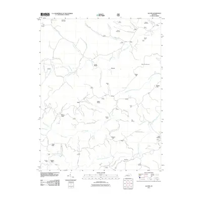
2011 Map of Alcorn
USGS Topo · Published 2011About this map
Alcorn and its neighboring communities in Jackson County, Kentucky, are defined by a deeply carved landscape of ridges and hollows, where life is centered along the winding paths of Horns River and Red Lick Creek. This 2011 topographic survey captures a rural region rich in ancestral history, evidenced by the numerous small family burial grounds scattered throughout the hills. Sites like Needmore Cemetery, Swine Cemetery, and Gum Cemetery offer vital touchpoints for genealogists. The settlement of Alcorn serves as a central hub, once anchored by the Alcorn Post Office. Near Sinking Valley, the terrain drops into Big Hollow, while industry and community needs are represented by landmarks such as Powells Mill. The map also illustrates the transition of transportation, from the rugged Upper Dry Fork Rd to the established routes connecting hamlets like Happy Top and Sand Springs, providing a clear view of the area's enduring rural character.
Find a feature on this map
77 named features on this map. Tap any name to fly to it.
Don’t see what you’re looking for? This feature index may not catch every label — zoom into the map to look around manually.
Map Details
Editions of this 2011 Alcorn Map
This is the sole edition of this map. No revisions or reprints were ever made.
Other maps of this area

1891 · Manchester
USGS Topo · 1:125,000

1892 · Richmond
USGS Topo · 1:125,000

1892 · Beattyville
USGS Topo · 1:125,000

1893 · London
USGS Topo · 1:125,000

1897 · Richmond
USGS Topo · 1:125,000

1897 · London
USGS Topo · 1:125,000

1952 · Alcorn
USGS Topo · 1:24,000

1952 · Leighton
USGS Topo · 1:24,000

1952 · Irvine
USGS Topo · 1:24,000

1952 · Bighill
USGS Topo · 1:24,000