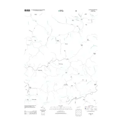
2013 Map of Alcorn
USGS Topo · Published 2013About this map
Alcorn and its neighboring communities in Jackson County are defined by a complex network of hollows and ridges where the Appalachian foothills meet the central Kentucky landscape. This 2013 survey documents a deeply ingrained rural settlement pattern, where small hamlets like Hisel, Indian Spring, and Locust Branch follow the winding courses of Red Lick Cr and Rock Lick Cr. The presence of Locust Branch School Rd and Daniel Cemetery Rd points to the long-standing family foundations of these communities, while landmarks such as Powells Mill reflect a historical reliance on the local water systems. High points like Happy Top Mountain and Chrisman Mountain overlook Sinking Valley, a notable geological feature where the terrain drops away into the namesake drainage. The map provides a detailed view of the modern road network, including Kenneth Rose Rd and Luther Davidson Rd, which connect the isolated ridges of Durham Ridge to the flatter reaches of Blanton Flats.
Find a feature on this map
69 named features on this map. Tap any name to fly to it.
Don’t see what you’re looking for? This feature index may not catch every label — zoom into the map to look around manually.
Map Details
Editions of this 2013 Alcorn Map
This is the sole edition of this map. No revisions or reprints were ever made.
Other maps of this area

1891 · Manchester
USGS Topo · 1:125,000

1892 · Richmond
USGS Topo · 1:125,000

1892 · Beattyville
USGS Topo · 1:125,000

1893 · London
USGS Topo · 1:125,000

1897 · Richmond
USGS Topo · 1:125,000

1897 · London
USGS Topo · 1:125,000

1952 · Alcorn
USGS Topo · 1:24,000

1952 · Leighton
USGS Topo · 1:24,000

1952 · Irvine
USGS Topo · 1:24,000

1952 · Bighill
USGS Topo · 1:24,000