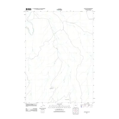
2012 Map of Alcova SE
USGS Topo · Published 2012About this map
The N Platte River cuts through the northwest corner of this Wyoming landscape, defining a terrain shaped by water drainage and petroleum extraction. This 2012 survey illustrates a network of seasonal watercourses, including Bear Cr and Bolton Cr, which feed into the larger river system. The presence of the Spindle Top Oil Field and the Bolton Creek Oil Field highlights the area's ongoing role in the state's energy economy, showing the infrastructure of access roads required to maintain these remote operations.
Find a feature on this map
16 named features on this map. Tap any name to fly to it.
Don’t see what you’re looking for? This feature index may not catch every label — zoom into the map to look around manually.
Map Details
Editions of this 2012 Alcova SE Map
This is the sole edition of this map. No revisions or reprints were ever made.
Other maps of this area

1950 · Alcova SE
USGS Topo · 1:24,000

1950 · Alcova
USGS Topo · 1:24,000

1951 · Clarkson Hill
USGS Topo · 1:24,000

1951 · Bessemer Mountain
USGS Topo · 1:24,000

1951 · Bear Mountain
USGS Topo · 1:24,000

1951 · Bear Spring
USGS Topo · 1:24,000

1955 · Casper
USGS Topo · 1:250,000

1958 · Casper
USGS Topo · 1:250,000

1960 · Twin Buttes
USGS Topo · 1:24,000

1960 · Horse Peak
USGS Topo · 1:24,000