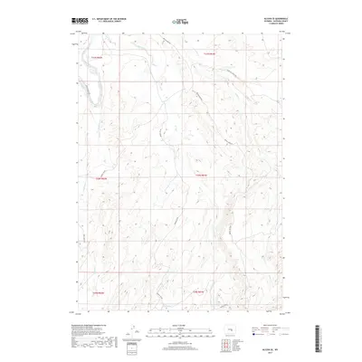
2017 Map of Alcova SE
USGS Topo · Published 2017About this map
The North Platte River winds through the northwest corner of this Wyoming landscape, defining a corridor of activity in an otherwise high-country drainages. The area is dominated by the intricate network of the Bear Cr and Bolton Cr systems, which have carved numerous draws and ridges across the township boundaries. Historically significant transportation routes like the Bates Hole Stock Trl and the Trapper Route Rd suggest a legacy of ranching and early commerce moving through these hills. This 2017 survey details the complex topography where the W Fork Bear Cr and E Fork Bear Cr converge, revealing a remote terrain managed through a series of primitive and improved access points like Spindle Top Rd.
Find a feature on this map
18 named features on this map. Tap any name to fly to it.
Don’t see what you’re looking for? This feature index may not catch every label — zoom into the map to look around manually.
Map Details
Editions of this 2017 Alcova SE Map
This is the sole edition of this map. No revisions or reprints were ever made.
Other maps of this area

1950 · Alcova SE
USGS Topo · 1:24,000

1950 · Alcova
USGS Topo · 1:24,000

1951 · Clarkson Hill
USGS Topo · 1:24,000

1951 · Bessemer Mountain
USGS Topo · 1:24,000

1951 · Bear Mountain
USGS Topo · 1:24,000

1951 · Bear Spring
USGS Topo · 1:24,000

1955 · Casper
USGS Topo · 1:250,000

1958 · Casper
USGS Topo · 1:250,000

1960 · Twin Buttes
USGS Topo · 1:24,000

1960 · Horse Peak
USGS Topo · 1:24,000