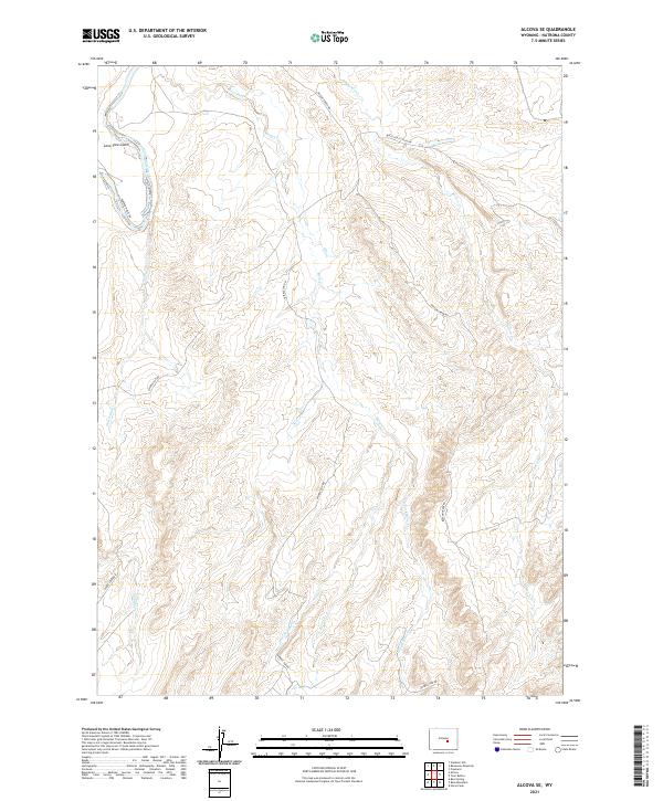
2021 Map of Alcova SE
USGS Topo · Published 2021About this map
The North Platte River cuts through the northwest corner of this terrain in Natrona County, where the landscape is defined by an intricate network of drainages and historic passage routes. Evidence of the region’s ranching and transit history is clear in the Bates Hole Stock Trl and the Trapper Route Rd, which follow the contours of the land between the high ridges. This 2021 survey shows a topography carved by water, with Bear Creek and its various branches, including the E Fork Bear Cr and W Fork Bear Cr, moving through the central and southern reaches. Significant landmarks like Lone Tree Gulch and the winding Wash-Out Cr provide specific reference points for those studying the physical geography and land-use patterns of central Wyoming. Modern access via Bolton Creek Rd and Spindle Top Rd connects this high-desert environment to the surrounding range.
Find a feature on this map
20 named features on this map. Tap any name to fly to it.
Don’t see what you’re looking for? This feature index may not catch every label — zoom into the map to look around manually.
Map Details
Editions of this 2021 Alcova SE Map
This is the sole edition of this map. No revisions or reprints were ever made.
Other maps of this area

1950 · Alcova SE
USGS Topo · 1:24,000

1950 · Alcova
USGS Topo · 1:24,000

1951 · Clarkson Hill
USGS Topo · 1:24,000

1951 · Bessemer Mountain
USGS Topo · 1:24,000

1951 · Bear Mountain
USGS Topo · 1:24,000

1951 · Bear Spring
USGS Topo · 1:24,000

1955 · Casper
USGS Topo · 1:250,000

1958 · Casper
USGS Topo · 1:250,000

1960 · Twin Buttes
USGS Topo · 1:24,000

1960 · Horse Peak
USGS Topo · 1:24,000