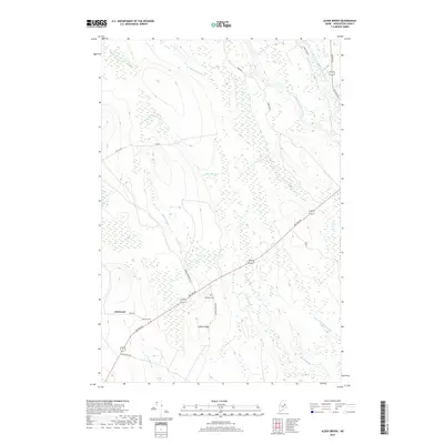
2018 Map of Alder Brook
USGS Topo · Published 2018About this map
West Branch Mattawamkeag River and its eastern counterpart converge in this corner of Aroostook County, defining a landscape dominated by riparian wetlands and tributary drainage. The settlement at Glenwood serves as a primary local focal point, situated at the junction of Dixie Rd and the long-established Military Rd. This corridor reflects the historical infrastructure of northern Maine, where timber access and transport routes like Yankee Woodshed Rd and Codfish Ridge Rd navigate the low rises of Codfish Ridge. Small, isolated family or community burial sites including Twombly Cem and Eastman Cem are preserved here, providing essential physical records for genealogical research in this sparsely populated township. Numerous brooks, such as Alder Brook and Battle Brook, feed the river system through thickets and marshy bottoms.
Find a feature on this map
22 named features on this map. Tap any name to fly to it.
Don’t see what you’re looking for? This feature index may not catch every label — zoom into the map to look around manually.
Map Details
Editions of this 2018 Alder Brook Map
This is the sole edition of this map. No revisions or reprints were ever made.
Other maps of this area

1940 · Danforth
USGS Topo · 1:62,500

1940 · Amity
USGS Topo · 1:62,500

1941 · Danforth
USGS Topo · 1:62,500

1941 · Amity
USGS Topo · 1:62,500

1941 · Mattawamkeag Lake
USGS Topo · 1:62,500

1941 · Wytopitlock
USGS Topo · 1:62,500

1943 · Danforth
USGS Topo · 1:62,500

1943 · Wytopitlock
USGS Topo · 1:62,500

1943 · Amity
USGS Topo · 1:62,500

1943 · Mattawamkeag Lake
USGS Topo · 1:62,500