
1943 Map of Amity
USGS Topo · Published 1943About this map
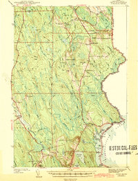
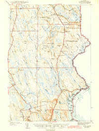
Wilcox Settlement and Estabrook Settlement anchor this 1940s landscape in southern Aroostook County, revealing a rural community structured around small local school districts and family-named landmarks. The map traces the international boundary along the United States Canada border, where several monuments mark the edge of Maine. The area's settlement pattern follows a series of ridges and hills, including Sugar Ridge, Stetson Ridge, and Spring Hill, which rise above a complex network of waterways feeding the Mattawamkeag River. Local life at this time was centered on small rural institutions, evidenced by a high density of neighborhood schools such as Wilcox Sch, Reed Sch, and South Amity Sch. Toward the south, Brackett Lake and Deering Lake reflect the transition into the Chiputneticook Lakes region, while Ferry Bridge provides a vital link across the river near North Bancroft.
Find a feature on this map
78 named features on this map. Tap any name to fly to it.
Don’t see what you’re looking for? This feature index may not catch every label — zoom into the map to look around manually.
Map Details
Editions of this 1943 Amity Map
3 editions found
Other maps of this area

1937 · Smyrna Mills
USGS Topo · 1:62,500

1938 · Houlton
USGS Topo · 1:62,500

1940 · Danforth
USGS Topo · 1:62,500

1940 · Amity
USGS Topo · 1:62,500

1940 · Forest
USGS Topo · 1:62,500

1941 · Danforth
USGS Topo · 1:62,500

1941 · Amity
USGS Topo · 1:62,500

1941 · Mattawamkeag Lake
USGS Topo · 1:62,500

1941 · Wytopitlock
USGS Topo · 1:62,500

1942 · Forest
USGS Topo · 1:62,500