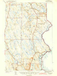
1943 Map of Amity
USGS Topo · Published 1943About this map
The international boundary between Maine and New Brunswick defines the eastern edge of this Aroostook County landscape as it appeared in the late 1930s. The region is characterized by a series of distinct ridges and settlements, including Wilcox Settlement and Estabrook Settlement, which are interspersed among an extensive network of brooks and wetlands like Coffin Bog. Settlement patterns follow the high ground and the corridor of U.S. Route 1, with small community hubs marked by local landmarks such as the Fire Tower on Mitchell Mtn.
Find a feature on this map
92 named features on this map. Tap any name to fly to it.
Don’t see what you’re looking for? This feature index may not catch every label — zoom into the map to look around manually.
Map Details
Editions of this 1943 Amity Map
3 editions found

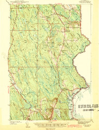
Other maps of this area

1937 · Smyrna Mills
USGS Topo · 1:62,500

1938 · Houlton
USGS Topo · 1:62,500

1940 · Danforth
USGS Topo · 1:62,500

1940 · Amity
USGS Topo · 1:62,500

1940 · Forest
USGS Topo · 1:62,500

1941 · Danforth
USGS Topo · 1:62,500

1941 · Amity
USGS Topo · 1:62,500

1941 · Mattawamkeag Lake
USGS Topo · 1:62,500

1941 · Wytopitlock
USGS Topo · 1:62,500

1942 · Forest
USGS Topo · 1:62,500