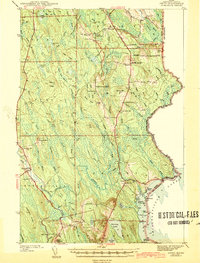
1943 Map of Amity
USGS Topo · Published 1943About this map
Wilcox Settlement and Estabrook Settlement anchor this landscape of eastern Aroostook County, where the border between the Maine and New Brunswick frontier is defined by the expansive waters of the Chiputneticook Lakes. Surveyed just before the Second World War, the map captures a rural network of small schoolhouses like the Smith Sch, South Amity Sch, and Elliot Sch that served isolated homesteads along the ridges. The terrain is marked by distinct family-named landmarks such as Stetson Ridge and Sugar Ridge, while the West Branch Mattawamkeag River flows through the southwestern corner near Haynesville. A prominent Fire Tower atop Mitchell Mtn speaks to the region's managed timberlands, and the presence of the Ferry Bridge near North Bancroft illustrates the critical river crossings that connected these northern settlements.
Find a feature on this map
65 named features on this map. Tap any name to fly to it.
Don’t see what you’re looking for? This feature index may not catch every label — zoom into the map to look around manually.
Map Details
Editions of this 1943 Amity Map
3 editions found

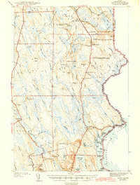
Other maps of this area

1937 · Smyrna Mills
USGS Topo · 1:62,500

1938 · Houlton
USGS Topo · 1:62,500

1940 · Danforth
USGS Topo · 1:62,500

1940 · Amity
USGS Topo · 1:62,500

1940 · Forest
USGS Topo · 1:62,500

1941 · Danforth
USGS Topo · 1:62,500

1941 · Amity
USGS Topo · 1:62,500

1941 · Mattawamkeag Lake
USGS Topo · 1:62,500

1941 · Wytopitlock
USGS Topo · 1:62,500

1942 · Forest
USGS Topo · 1:62,500