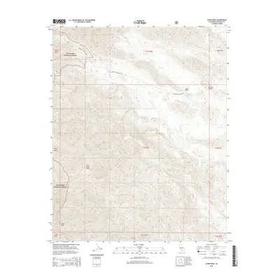
2015 Map of Alder Peak
USGS Topo · Published 2015About this map
The Santa Lucia Range dominates this portion of the Los Padres National Forest in Monterey County, where high peaks and deep drainages define the landscape. The Nacimiento River winds through the central terrain, fed by numerous tributaries including Anthony Cr and San Miguel Cr. This map illustrates the vital water network of the region, featuring several remote water sources like Squirrel Spring and Basket Spring.
Find a feature on this map
29 named features on this map. Tap any name to fly to it.
Don’t see what you’re looking for? This feature index may not catch every label — zoom into the map to look around manually.
Map Details
Editions of this 2015 Alder Peak Map
This is the sole edition of this map. No revisions or reprints were ever made.
Other maps of this area

1919 · King City
USGS Topo · 1:62,500

1919 · Junipero Serra
USGS Topo · 1:62,500

1919 · Bryson
USGS Topo · 1:62,500

1921 · Cape San Martin
USGS Topo · 1:62,500

1939 · King City
USGS Topo · 1:62,500

1941 · Cape San Martin
USGS Topo · 1:62,500

1941 · Junipero Serra
USGS Topo · 1:62,500

1941 · Bryson
USGS Topo · 1:62,500

1942 · Bryson
USGS Topo · 1:62,500

1942 · Cape San Martin
USGS Topo · 1:62,500