
1919 Map of King City
USGS Topo · Published 1919About this map
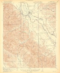
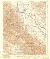
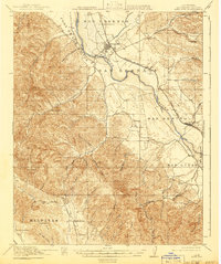
King City serves as the primary hub of this 1919 study, situated where the Southern Pacific railroad parallels the broad course of the Salinas River. The landscape is defined by massive Spanish land grants like Posa de los Ositos and San Bernabe, which reflect the regional transition from vast ranchos to the agricultural development of the Salinas Valley. Moving south toward San Lucas, the map reveals a network of rural schoolhouses, such as Oasis School and Sweetwater School, marking the social centers of scattered farming communities.
Find a feature on this map
60 named features on this map. Tap any name to fly to it.
Don’t see what you’re looking for? This feature index may not catch every label — zoom into the map to look around manually.
Map Details
Editions of this 1919 King City Map
4 editions found
Other maps of this area

1912 · San Ardo
USGS Topo · 1:31,680

1912 · Metz
USGS Topo · 1:31,680

1915 · Soledad
USGS Topo · 1:62,500

1915 · Priest Valley
USGS Topo · 1:125,000

1919 · Junipero Serra
USGS Topo · 1:62,500

1919 · Bryson
USGS Topo · 1:62,500

1919 · Bradley
USGS Topo · 1:62,500

1921 · Cape San Martin
USGS Topo · 1:62,500

1921 · Metz
USGS Topo · 1:62,500

1939 · King City
USGS Topo · 1:62,500