
1915 Map of Soledad
USGS Topo · Published 1915About this map
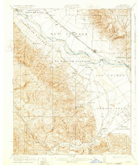
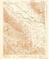
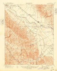
The Mission Soledad (Ruins) stand as a central landmark in the Salinas Valley, anchoring a landscape where Spanish land grants like Ex Mission Soledad and Paraje De Sanchez meet the early 20th-century agricultural expansion. The Southern Pacific railroad parallels the Salinas River, connecting small rail-side settlements such as Camphora and Molius to the larger hub of Soledad. This survey captures the region's reliance on water management, evidenced by numerous instances of a Pump House and the early Canal systems near Greenfield. To the west, the foothills of the Santa Lucia Range rise sharply, dotted with family-named schools like Soberanes School and recreational outposts including the Mio Alto Gun Club near the Monterey National Forest boundary. The map illustrates a transitional era where traditional ranching terrain was being subdivided into organized farm colonies like Fort Romie.
Find a feature on this map
41 named features on this map. Tap any name to fly to it.
Don’t see what you’re looking for? This feature index may not catch every label — zoom into the map to look around manually.
Map Details
Editions of this 1915 Soledad Map
4 editions found
Other maps of this area

1910 · Gonzales
USGS Topo · 1:31,680

1910 · Salinas
USGS Topo · 1:31,680

1910 · Soledad
USGS Topo · 1:31,680

1912 · Salinas
USGS Topo · 1:62,500

1912 · Metz
USGS Topo · 1:31,680

1919 · King City
USGS Topo · 1:62,500

1919 · San Benito
USGS Topo · 1:62,500

1919 · Junipero Serra
USGS Topo · 1:62,500

1920 · Jamesburg
USGS Topo · 1:48,000

1921 · Jamesburg
USGS Topo · 1:62,500