
Loading...
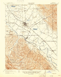
Loading map...1910 Map of Salinas
USGS Topo · Published 1910About this map
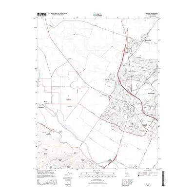
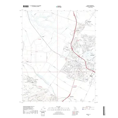
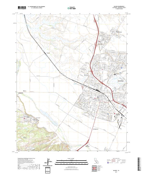
The agricultural heart of the Salinas Valley is documented here during a period of significant industrial and transportation growth. The town of Salinas serves as the central hub, surrounded by a complex network of land grants including El Alisal (Bernal) and Llano de Buena Vista. The Salinas River carves through the landscape, supported by several sloughs like Alisal Slough.
Find a feature on this map
42 named features on this map. Tap any name to fly to it.
Don’t see what you’re looking for? This feature index may not catch every label — zoom into the map to look around manually.
Map Details
Date Portrayed1910
Date Published1910
PublisherU.S. Geological Survey
Map TypeTopographic
Scale1:31,680
Physical Dimensions31.1 x 40 inches
Editions of this 1910 Salinas Map
This is the sole edition of this map. No revisions or reprints were ever made.
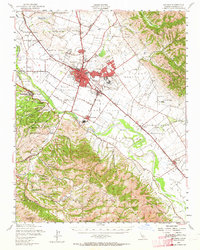
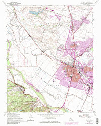
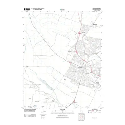
Historical Maps of Salinas Through Time
9 maps found

Featured Locations
Source Details
SourceU.S. Geological Survey
CopyrightPublic Domain