
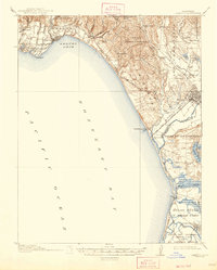
1914 Map of Capitola
USGS Topo · Published 1914About this map
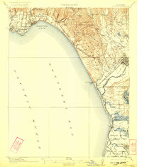
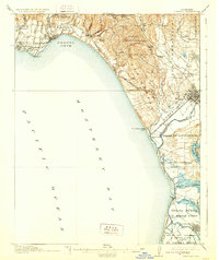
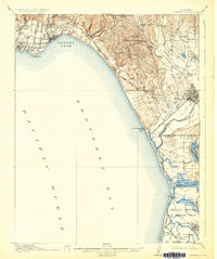
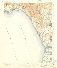
Soquel Cove and the northern arc of Monterey Bay define the coastal character of this 1914 survey, which captures the burgeoning resort and agricultural landscape of the early twentieth century. The Southern Pacific RR serves as a vital artery, threading through coastal settlements like Capitola, Aptos, and Manresa before turning inland toward the regional hub of Watsonville. The map reveals a complex drainage system of sloughs and lagoons, such as Valencia Lagoon and Harkins Slough, which interact with the Pajaro River delta.
Find a feature on this map
81 named features on this map. Tap any name to fly to it.
Don’t see what you’re looking for? This feature index may not catch every label — zoom into the map to look around manually.
Map Details
Editions of this 1914 Capitola Map
6 editions found
Other maps of this area

1902 · Santa Cruz
USGS Topo · 1:125,000

1910 · Salinas
USGS Topo · 1:31,680

1912 · Salinas
USGS Topo · 1:62,500

1912 · Capitola
USGS Topo · 1:62,500

1913 · Monterey
USGS Topo · 1:62,500

1915 · San Juan Bautista
USGS Topo · 1:48,000

1916 · New Almaden
USGS Topo · 1:48,000

1917 · Morgan Hill
USGS Topo · 1:62,500

1917 · San Juan Bautista
USGS Topo · 1:62,500

1919 · New Almaden
USGS Topo · 1:62,500