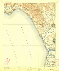
1914 Map of Capitola
USGS Topo · Published 1922About this map
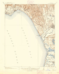
Soquel Cove and the sweep of northern Monterey Bay anchor this early 20th-century survey of the Santa Cruz and Monterey county coastlines. The Southern Pacific railroad is the primary engine of development here, threading through seaside towns from Capitola and Aptos down toward the agricultural hub of Watsonville. The landscape is a complex network of coastal lagoons and sloughs, including Schwan Lagoon and the extensive Elkhorn Slough near Moss. Large historic land divisions such as Los Corralitos and Bolsa de San Cayetano reflect the region's heritage of Spanish and Mexican land grants. Rural life is evidenced by numerous local institutions like Liveoak School and Calabasas School, while industrial activity is noted at Port Watsonville and Camp Goodall, where shipping and rail met the Pacific.
Find a feature on this map
63 named features on this map. Tap any name to fly to it.
Don’t see what you’re looking for? This feature index may not catch every label — zoom into the map to look around manually.
Map Details
Editions of this 1914 Capitola Map
6 editions found
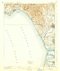
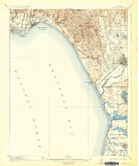
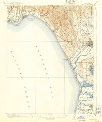
Other maps of this area

1902 · Santa Cruz
USGS Topo · 1:125,000

1910 · Salinas
USGS Topo · 1:31,680

1912 · Salinas
USGS Topo · 1:62,500

1912 · Capitola
USGS Topo · 1:62,500

1913 · Monterey
USGS Topo · 1:62,500

1914 · Capitola
USGS Topo · 1:62,500

1915 · San Juan Bautista
USGS Topo · 1:48,000

1916 · New Almaden
USGS Topo · 1:48,000

1917 · Morgan Hill
USGS Topo · 1:62,500

1917 · San Juan Bautista
USGS Topo · 1:62,500