
1917 Map of Morgan Hill
USGS Topo · Published 1917About this map
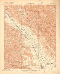
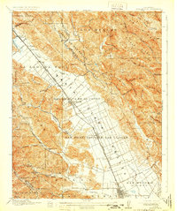
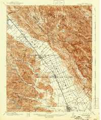
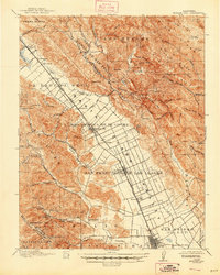
The Santa Clara Valley serves as a productive agricultural corridor in this 1915 survey, anchored by the growing town of Morgan Hill and the established hub of Gilroy. The Southern Pacific Railroad and the primary State Highway parallel each other through the center of the valley, driving the development of shipping points like Madrone, Tennant, and San Martin. This transport spine connects the ranching and orchard lands of the flat valley floor to the dramatic rising topography of the Santa Cruz Mountains to the west and Pine Ridge to the east.
Find a feature on this map
88 named features on this map. Tap any name to fly to it.
Don’t see what you’re looking for? This feature index may not catch every label — zoom into the map to look around manually.
Map Details
Editions of this 1917 Morgan Hill Map
5 editions found
Other maps of this area

1889 · San Jose
USGS Topo · 1:62,500

1897 · San Jose
USGS Topo · 1:62,500

1897 · Mt. Hamilton
USGS Topo · 1:62,500

1899 · San Jose
USGS Topo · 1:62,500

1912 · Capitola
USGS Topo · 1:62,500

1914 · Capitola
USGS Topo · 1:62,500

1915 · San Juan Bautista
USGS Topo · 1:48,000

1916 · New Almaden
USGS Topo · 1:48,000

1917 · San Juan Bautista
USGS Topo · 1:62,500

1919 · Hollister
USGS Topo · 1:48,000