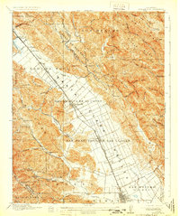
1917 Map of Morgan Hill
USGS Topo · Published 1931About this map
Santa Clara valley's agricultural heart unfolds along the Southern Pacific rail line during a period of intensive orchard development and rural growth. The landscape is defined by large Spanish-era land grants such as Ojo de Agua de la Coche and San Francisco de las Llagas, which have begun to transition into organized town lots at Morgan Hill and San Martin. The survey details a highly structured network of drainage and irrigation, with the Gilroy Waterworks Dam and various creek systems like Llagas Creek supporting the valley floor. To the west, the Santa Cruz Mountains rise sharply, dotted with isolated educational and social outposts including the Machado School and the Redwood Retreat, marking the boundary between the cultivated valley and the wooded heights of Mt Madonna.
Find a feature on this map
84 named features on this map. Tap any name to fly to it.
Don’t see what you’re looking for? This feature index may not catch every label — zoom into the map to look around manually.
Map Details
Editions of this 1917 Morgan Hill Map
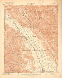
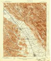
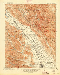
5 editions found
Other maps of this area

1889 · San Jose
USGS Topo · 1:62,500

1897 · San Jose
USGS Topo · 1:62,500

1897 · Mt. Hamilton
USGS Topo · 1:62,500

1899 · San Jose
USGS Topo · 1:62,500

1912 · Capitola
USGS Topo · 1:62,500

1914 · Capitola
USGS Topo · 1:62,500

1915 · San Juan Bautista
USGS Topo · 1:48,000

1916 · New Almaden
USGS Topo · 1:48,000

1917 · Morgan Hill
USGS Topo · 1:62,500

1917 · San Juan Bautista
USGS Topo · 1:62,500