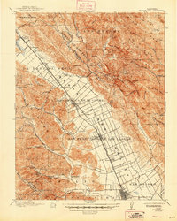
1917 Map of Morgan Hill
USGS Topo · Published 1947About this map
The Santa Clara Valley’s agricultural and transportation backbone is clearly defined in this early 20th-century survey. The parallel paths of the Southern Pacific railroad and the State Highway dictate the growth of towns like Morgan Hill, San Martin, and Gilroy. Large Spanish land grant legacies are preserved in labels like Ojo de Agua de la Coche and San Francisco de las Llagas, reflecting the transition from ranchos to subdivided valley floor orchards and vineyards.
Find a feature on this map
91 named features on this map. Tap any name to fly to it.
Don’t see what you’re looking for? This feature index may not catch every label — zoom into the map to look around manually.
Map Details
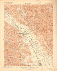
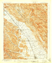
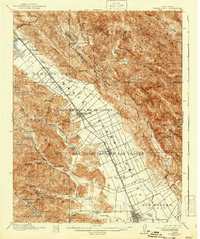
Editions of this 1917 Morgan Hill Map
5 editions found
Other maps of this area

1889 · San Jose
USGS Topo · 1:62,500

1897 · San Jose
USGS Topo · 1:62,500

1897 · Mt. Hamilton
USGS Topo · 1:62,500

1899 · San Jose
USGS Topo · 1:62,500

1912 · Capitola
USGS Topo · 1:62,500

1914 · Capitola
USGS Topo · 1:62,500

1915 · San Juan Bautista
USGS Topo · 1:48,000

1916 · New Almaden
USGS Topo · 1:48,000

1917 · Morgan Hill
USGS Topo · 1:62,500

1917 · San Juan Bautista
USGS Topo · 1:62,500