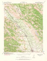
1917 Map of Morgan Hill
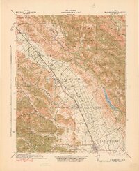
USGS Topo · Published 1941About this map
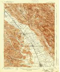
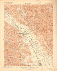
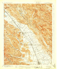
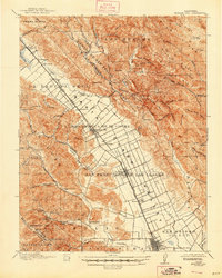
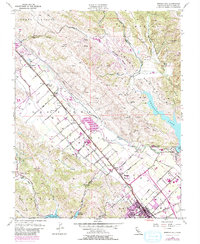
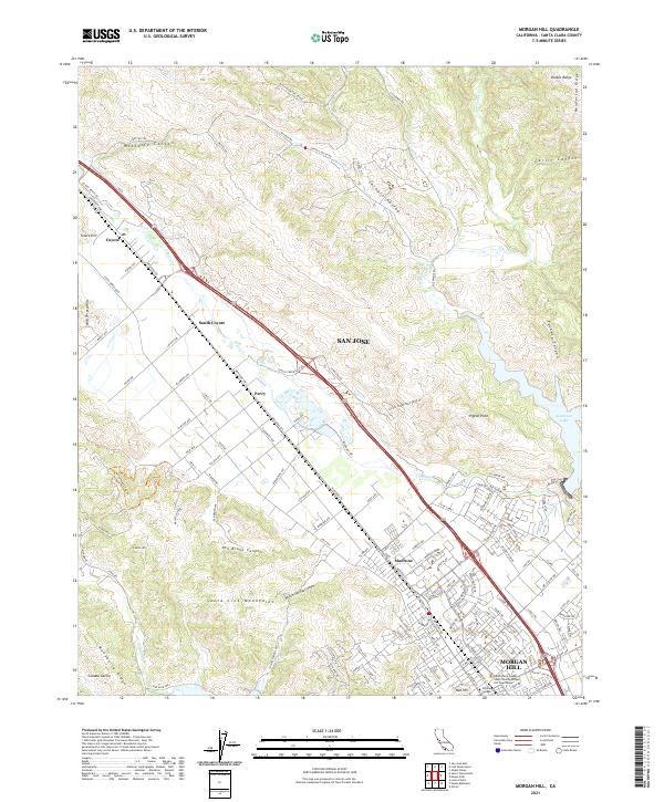
The Santa Clara Valley unfolds as a productive agricultural and transit corridor in this 1915 survey. The Southern Pacific Railroad and the primary State Highway run parallel through the valley floor, connecting a string of settlements including Coyote, Madrone, Morgan Hill, San Martin, and Gilroy. These towns are anchored by the valley's distinct grid of ranch roads and property boundaries, such as those within Ojo de Agua de la Coche and San Francisco de las Llagas.
Find a feature on this map
90 named features on this map. Tap any name to fly to it.
Don’t see what you’re looking for? This feature index may not catch every label — zoom into the map to look around manually.
Map Details
Editions of this 1917 Morgan Hill Map
5 editions found

Historical Maps of San Jose Through Time
8 maps found
1917 Morgan Hill
Santa Clara County, CA
1939 Morgan Hill
Santa Clara County, CA
1941 Morgan Hill
Santa Clara County, CA
1955 Morgan Hill
Santa Clara County, CA
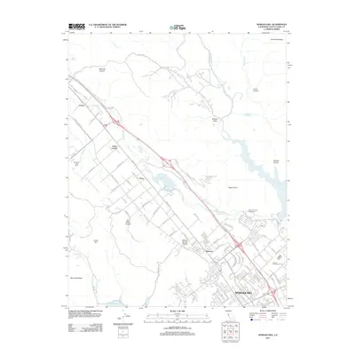
2012 Morgan Hill
Santa Clara County, CA
2015 Morgan Hill
Santa Clara County, CA
2018 Morgan Hill
Santa Clara County, CA
2021 Morgan Hill
Santa Clara County, CA