
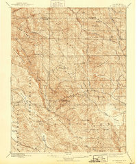
1897 Map of Mt. Hamilton
USGS Topo · Published 1897About this map
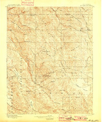
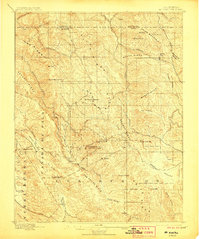
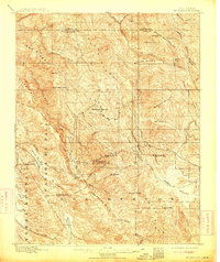
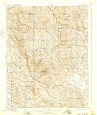
The Lick Observatory stands as the central landmark on Mt Hamilton in this 1895 survey of the Diablo Range. The landscape is defined by a dense network of high ridges, including Oak Ridge, Packard Ridge, and Eylar Mountain, separated by deep canyons and seasonal watercourses like Smith Creek and Alameda Creek. A solitary Hotel is located along the winding road ascending toward the observatory, providing a rare sign of infrastructure in an otherwise remote terrain dominated by cattle ranching and early scientific exploration. To the south and east, the broader basins of Halls Valley and Isabel Valley contrast with the steep slopes of Steeboy Ridge. Names like Mowry Camp and Ingram Flat suggest the transient settlements and grazing outposts common to these highlands at the end of the nineteenth century.
Find a feature on this map
59 named features on this map. Tap any name to fly to it.
Don’t see what you’re looking for? This feature index may not catch every label — zoom into the map to look around manually.
Map Details
Editions of this 1897 Mt. Hamilton Map
6 editions found
Other maps of this area

1889 · San Jose
USGS Topo · 1:62,500

1897 · San Jose
USGS Topo · 1:62,500

1899 · San Jose
USGS Topo · 1:62,500

1906 · Pleasanton
USGS Topo · 1:62,500

1907 · Tesla
USGS Topo · 1:62,500

1916 · New Almaden
USGS Topo · 1:48,000

1917 · Morgan Hill
USGS Topo · 1:62,500

1919 · New Almaden
USGS Topo · 1:62,500

1921 · Gilroy Hot Springs
USGS Topo · 1:62,500

1922 · Carbona
USGS Topo · 1:62,500