
1921 Map of Gilroy Hot Springs
USGS Topo · Published 1921About this map
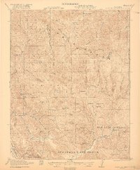
Gilroy Hot Springs and the surrounding high country of the Diablo Range define this landscape just after the first world war. The area is characterized by vast Spanish land grants including San Luis Gonzaga and Ausaymas y San Felipe, reflecting the deep ranching heritage of the Santa Clara and Stanislaus county line. Remote outposts like Robeson Ranch, Dowdy Ranch, and the O'Connor Ranch are connected by rugged trails and canyons such as Kelly Cabin Canyon.
Find a feature on this map
54 named features on this map. Tap any name to fly to it.
Don’t see what you’re looking for? This feature index may not catch every label — zoom into the map to look around manually.
Map Details
Editions of this 1921 Gilroy Hot Springs Map
4 editions found
Other maps of this area

1897 · Mt. Hamilton
USGS Topo · 1:62,500

1915 · San Juan Bautista
USGS Topo · 1:48,000

1917 · Morgan Hill
USGS Topo · 1:62,500

1917 · San Juan Bautista
USGS Topo · 1:62,500

1919 · Orestimba
USGS Topo · 1:62,500

1919 · Orestimba Creek
USGS Topo · 1:31,680

1919 · Hollister
USGS Topo · 1:48,000

1920 · Pacheco Pass
USGS Topo · 1:62,500

1921 · Hollister
USGS Topo · 1:62,500

1922 · Quien Sabe
USGS Topo · 1:62,500