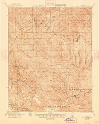
1921 Map of Gilroy Hot Springs
USGS Topo · Published 1948About this map
Gilroy Hot Springs serves as a notable landmark in the deep canyons of the Diablo Range, situated where Coyote Creek and Willow Creek converge. This 1918 survey, published just after the First World War, captures a remote landscape defined by Spanish land grants including San Luis Gonzaga, San Ysidro or Ortega, and Llano del Tequisquita. These traditional boundary lines overlay a terrain of steep peaks such as Mustang Peak and Burra Burra Peak, reflecting the transition from Mexican era rancho holdings to early 20th-century American ranching. Isolated outposts like Robeson Ranch and O'Connor Ranch are reachable only by rugged trails and early roads, while Bells Station marks a key stopping point along the Pacheco Creek corridor. The map preserves the names of distinct geological features like Lovers Leap and Elephant Head, which served as vital navigation points for travelers moving through the passes toward the Central Valley.
Find a feature on this map
37 named features on this map. Tap any name to fly to it.
Don’t see what you’re looking for? This feature index may not catch every label — zoom into the map to look around manually.
Map Details
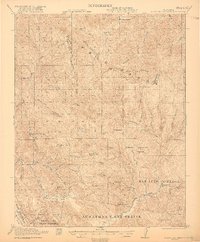
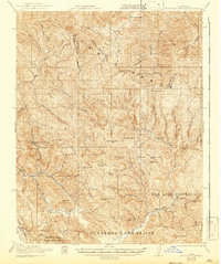
Editions of this 1921 Gilroy Hot Springs Map
4 editions found
Other maps of this area

1897 · Mt. Hamilton
USGS Topo · 1:62,500

1915 · San Juan Bautista
USGS Topo · 1:48,000

1917 · Morgan Hill
USGS Topo · 1:62,500

1917 · San Juan Bautista
USGS Topo · 1:62,500

1919 · Orestimba
USGS Topo · 1:62,500

1919 · Orestimba Creek
USGS Topo · 1:31,680

1919 · Hollister
USGS Topo · 1:48,000

1920 · Pacheco Pass
USGS Topo · 1:62,500

1921 · Gilroy Hot Springs
USGS Topo · 1:62,500

1921 · Hollister
USGS Topo · 1:62,500